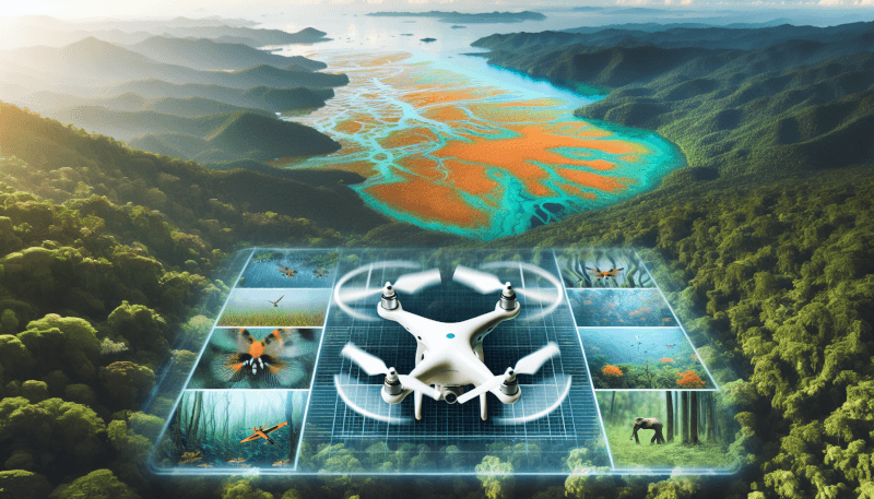
In today’s ever-evolving world, the use of drones has grown beyond the realms of simply capturing breathtaking aerial photographs. These unmanned aircrafts have found a vital purpose in environmental conservation, playing a crucial role in protecting and preserving our fragile ecosystems. By providing unprecedented access to remote and inaccessible areas, drones have revolutionized the way we study, monitor, and safeguard our environment. From tracking wildlife populations to identifying illegal activities, these technological marvels are making great strides in ensuring a sustainable future for generations to come.
Conservation monitoring
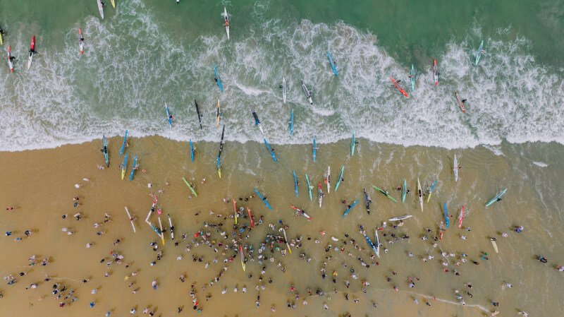
Conservation monitoring plays a crucial role in preserving and protecting our natural environment. Drones have revolutionized this process by providing a cost-effective and efficient solution for collecting data on various aspects of conservation. From monitoring wildlife populations to identifying illegal activities, drones have become an invaluable tool for conservationists.
Monitoring wildlife populations
One of the primary applications of drones in conservation monitoring is the assessment of wildlife populations. Traditional methods such as ground surveys and camera traps can be time-consuming and limited in scope. Drones, on the other hand, can cover large areas of land quickly and collect high-resolution imagery or video footage. This allows researchers to obtain accurate population estimates and monitor trends over time. By tracking changes in population size, conservationists can make informed decisions regarding conservation efforts and implement necessary interventions to protect endangered species.
Tracking illegal activities
Illegal activities, such as poaching and illegal hunting, pose a significant threat to wildlife. Fortunately, drones have proven to be effective tools in combating these activities. Equipped with high-resolution cameras, drones can patrol protected areas and monitor for any signs of illegal activity. With their ability to fly at low altitudes, drones can capture clear imagery that can be used as evidence to support law enforcement efforts. By providing real-time information on illegal activities, drones assist in deterring poachers and protecting vulnerable wildlife populations.
Mapping habitats
Understanding the habitat requirements of different species is crucial for effective conservation management. Drones equipped with specialized sensors can collect data on vegetation cover, topography, and land use patterns, assisting in the creation of accurate habitat maps. These maps provide valuable information for conservationists, allowing them to identify critical habitats, design protected areas, and implement targeted conservation strategies. By mapping habitats through drone technology, conservationists can gain a deeper understanding of the ecological needs of various species and make informed decisions to protect their habitats.
Assessing ecosystem health
Maintaining a healthy ecosystem is essential for the well-being of all species, including humans. Drones have emerged as powerful tools for assessing the health of ecosystems by collecting data on water quality, identifying invasive species, and evaluating vegetation health.
Collecting data on water quality
Water quality plays a vital role in the overall health of ecosystems. By collecting water samples and monitoring water bodies from the air, drones can quickly assess parameters such as temperature, pH levels, and turbidity. This data provides valuable insights into the condition of aquatic environments and helps identify potential pollution sources. By regularly monitoring water quality through drone technology, conservationists can detect changes that may indicate threats to ecosystems, enabling them to take appropriate measures to mitigate pollution and safeguard water resources.
Identifying invasive species
Invasive species pose a significant threat to native biodiversity and can cause imbalances within ecosystems. Drones equipped with advanced imaging technology can aid in the detection and identification of invasive species. By flying over areas at risk, drones can capture high-resolution images that allow experts to analyze vegetation patterns and detect the presence of invasive plants. Early identification of invasive species is crucial for effective management and control efforts, and drone technology provides a cost-effective and efficient solution for monitoring and combating these threats.
Evaluating vegetation health
The health and vitality of vegetation in an ecosystem are important indicators of overall ecosystem health. Drones equipped with multispectral sensors can capture detailed data on plant health by analyzing reflected light at different wavelengths. This data enables researchers to detect stress, disease, or nutrient deficiencies in vegetation, providing valuable insights into the state of the ecosystem. By regularly monitoring vegetation health through drones, conservationists can identify areas in need of restoration, implement targeted interventions, and track the success of conservation efforts over time.
Precision agriculture
Precision agriculture focuses on optimizing agricultural practices to increase productivity while minimizing environmental impact. Drones offer unique capabilities to monitor crop health, optimize pesticide use, and map soil conditions, making them valuable tools in the realm of precision agriculture.
Monitoring crop health
Crop health is a vital factor in maximizing agricultural yields. Drones equipped with high-resolution cameras and thermal sensors can capture detailed imagery of crops, allowing farmers to monitor signs of stress, disease, or nutrient deficiencies. By identifying problem areas early on, farmers can take necessary actions, such as adjusting irrigation or applying targeted treatments, to mitigate crop losses. Drones provide farmers with real-time information on crop health, helping them make precise and informed decisions to maximize productivity and reduce the use of agrochemicals.
Optimizing pesticide use
The targeted application of pesticides is essential to minimize environmental impact while effectively controlling pests. Drones equipped with advanced imaging technology and spraying systems can precisely target areas that require treatment, reducing pesticide use and minimizing unintended exposure. By accurately analyzing plant health data collected by drones, farmers can identify areas with pest infestation and efficiently deploy pesticide measures where they are most needed. This approach not only reduces the environmental impact but also reduces costs for farmers by optimizing pesticide use and minimizing wastage.
Mapping soil conditions
Soil health is a fundamental factor in agricultural productivity. Drones equipped with sensors can collect data on soil properties, including moisture content, pH levels, and nutrient concentrations. These data enable farmers to create detailed soil maps, identifying variations in soil conditions across their fields. By understanding soil heterogeneity, farmers can implement site-specific fertilizer and irrigation applications, optimizing resource use and reducing environmental impact. Drones provide a cost-effective and efficient solution for mapping soil conditions, helping farmers make informed decisions to improve soil health and increase agricultural productivity.
Environmental research
Drones have become invaluable tools in environmental research, enabling scientists to study climate change, assess pollution levels, and investigate natural disasters in unprecedented detail and accuracy.
Studying climate change
Understanding the impacts of climate change and accurately monitoring environmental changes is essential for developing effective mitigation and adaptation strategies. Drones equipped with specialized sensors can collect data on temperature, humidity, air quality, and greenhouse gas emissions, providing researchers with detailed information on climate patterns. With their ability to access remote and inaccessible areas, drones enhance the spatial and temporal resolution of climate data, enabling scientists to analyze changes in ecosystems and devise appropriate conservation measures.
Assessing pollution levels
Monitoring pollution levels is crucial for protecting ecosystems and human health. Drones equipped with gas detectors and air quality sensors can sample air particles and analyze pollution levels in real-time. By flying at various altitudes and monitoring different locations, drones provide a comprehensive picture of pollution patterns and identify pollution hotspots. This data assists researchers in understanding the sources and impacts of pollution, facilitating the development of targeted interventions and policies to reduce pollution and improve environmental quality.
Investigating natural disasters
Natural disasters, such as floods, earthquakes, and wildfires, have significant impacts on ecosystems and human communities. Drones have revolutionized disaster response and recovery efforts by providing real-time information on disaster-affected areas. Equipped with high-resolution cameras and thermal sensors, drones can assess the extent of damage, monitor changes in real-time, and identify areas at risk. By rapidly collecting and analyzing data, drones help emergency responders prioritize rescue operations, allocate resources effectively, and assist in the post-disaster recovery process.
Search and rescue operations
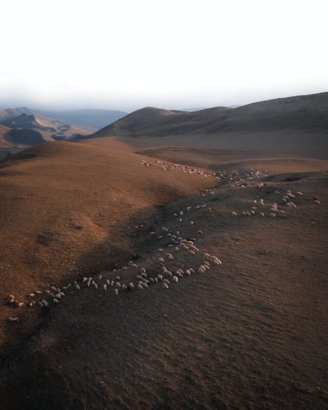
Drones play a crucial role in search and rescue operations, increasing the efficiency and effectiveness of locating missing persons, identifying safe routes, and providing emergency supplies.
Locating missing persons
When individuals go missing in remote or hazardous environments, time is of the essence. Drones equipped with thermal sensors and cameras can cover large areas quickly, significantly reducing the time and resources required for a search and rescue operation. By flying at low altitudes and capturing high-resolution imagery, drones can detect heat signatures and other signs of life, increasing the chances of finding missing persons swiftly. The real-time data collected by drones enables search and rescue teams to make informed decisions, optimizing their efforts and increasing the likelihood of a successful outcome.
Identifying safe routes
During emergencies, such as natural disasters or hazardous situations, identifying safe routes for evacuation or rescue operations is critical. Drones equipped with high-resolution cameras and sensors can survey the area, assess road conditions, and identify potential hazards. This information enables emergency responders to plan and execute evacuation routes safely, avoiding obstacles and hazards that may not be visible from the ground. By providing real-time data on route conditions, drones enhance the safety and efficiency of emergency operations, ensuring the well-being of individuals affected by a crisis.
Providing emergency supplies
In remote or inaccessible locations, delivering emergency supplies quickly is often a challenging task. Drones offer a practical solution by providing a means to transport essential items, including medical supplies, food, and water, to affected areas. With their ability to fly in challenging terrain and bypass roadblocks, drones can reach disaster-stricken areas swiftly, reducing response times and ensuring timely assistance. By delivering emergency supplies via drones, search and rescue teams can provide immediate relief to those in need, potentially saving lives and improving the overall effectiveness of emergency response efforts.
Wildlife management
The management and conservation of wildlife populations require accurate and up-to-date information on animal behavior, population dynamics, and habitat conditions. Drones have proven to be indispensable tools in wildlife management, aiding in preventing poaching, monitoring animal behavior, and identifying wildlife corridors.
Preventing poaching and illegal hunting
Poaching and illegal hunting pose significant threats to wildlife populations and conservation efforts. Drones equipped with high-resolution cameras and thermal sensors can patrol protected areas, monitor for signs of illegal activities, and provide real-time information to law enforcement agencies. By regularly flying over areas at risk, drones act as a deterrent, increasing the chances of detecting and apprehending poachers before they can inflict harm on wildlife. The use of drones in wildlife management enhances anti-poaching efforts, protects endangered species, and supports the overall conservation of biodiversity.
Monitoring animal behavior
Understanding animal behavior is crucial for effective wildlife management and conservation. Drones equipped with high-resolution cameras and zoom lenses can capture detailed imagery and video footage of animal behavior without causing disturbance. This non-invasive approach allows researchers to study animals in their natural habitats, obtain accurate data on movement patterns, breeding behavior, and social interactions. By analyzing the data collected by drones, wildlife researchers can gain insights into animal behavior and make informed decisions regarding habitat protection and conservation strategies.
Identifying wildlife corridors
Maintaining connectivity between different habitats is essential for wildlife populations to thrive. Drones equipped with mapping capabilities can identify and map wildlife corridors, which are vital pathways that allow animals to move between fragmented habitats. By capturing aerial imagery and analyzing landscape features, drones provide valuable information on the connectivity and quality of wildlife corridors. This data helps conservationists prioritize conservation efforts, implement measures to protect and restore critical corridors, and facilitate the movement of animals, promoting genetic diversity and long-term population viability.
Protecting endangered species
Endangered species face numerous threats, including habitat destruction, illegal trade, and limited breeding opportunities. Drones have emerged as invaluable tools in protecting endangered species, assisting in monitoring breeding habits, preventing habitat destruction, and supporting captive breeding programs.
Monitoring breeding habits
Understanding the breeding habits of endangered species is crucial for their conservation. Drones equipped with high-resolution cameras and thermal sensors provide researchers with a non-invasive means to monitor breeding behavior, nest sites, and incubation periods. By collecting data on breeding habits, conservationists can identify key breeding sites, implement measures to protect mating pairs and nests, and promote successful reproduction. Drones enhance the efficiency and accuracy of monitoring breeding habits, facilitating the conservation of endangered species and the preservation of genetic diversity.
Preventing habitat destruction
Habitat destruction is one of the leading causes of species decline and extinction. Drones equipped with high-definition cameras can monitor protected habitats, identify signs of encroachment or illegal activities, and provide visual evidence to support law enforcement efforts. Regular drone surveillance acts as a deterrent, preventing habitat destruction by raising awareness and enabling swift intervention when illegal activities are detected. By preventing habitat destruction through drone technology, conservationists can safeguard critical habitats, protecting endangered species and preserving biodiversity.
Assisting in captive breeding programs
Captive breeding programs play a crucial role in the conservation and recovery of endangered species. Drones can support these programs by providing valuable data on captive populations, including breeding success rates, health conditions, and behavioral observations. By using drones to monitor captive populations, researchers can optimize breeding conditions, identify potential challenges, and implement necessary interventions to enhance the success of captive breeding programs. Drones offer a cost-effective and non-intrusive means to monitor and manage captive populations, increasing the effectiveness of conservation efforts and contributing to the recovery of endangered species.
Firefighting and disaster response
Drones have revolutionized fire and disaster response efforts by providing real-time information on wildfires, identifying areas at risk, and assisting in disaster recovery operations.
Detecting and monitoring wildfires
Wildfires pose significant threats to both human communities and natural ecosystems. Drones equipped with thermal sensors and high-resolution cameras can detect and monitor wildfires in real-time. By flying over affected areas, drones capture detailed imagery that helps emergency responders assess the extent of the fire, identify hotspots, and track its progression. This real-time information enables firefighters to make informed decisions, allocate resources effectively, and implement targeted firefighting strategies. Drones enhance the safety and efficiency of fire response efforts, minimizing damage and mitigating the risks associated with wildfires.
Identifying areas at risk
Preventing the spread of wildfires and reducing their impact on communities requires accurate information on areas at risk. Drones equipped with advanced imaging technology and mapping capabilities can identify areas susceptible to wildfires by analyzing vegetation density, topography, and weather conditions. By providing real-time data on areas at risk, drones help emergency responders prioritize preventive measures, such as creating fire breaks, prescribing controlled burns, and implementing evacuation plans. The use of drones in identifying areas at risk enhances preparedness and enables proactive measures to mitigate the impacts of wildfires.
Assisting in disaster recovery
After a disaster strikes, rapid assessment of damages and timely response are critical. Drones equipped with high-resolution cameras and sensors can survey disaster-affected areas, capturing detailed images and collecting data on infrastructure damage, blocked roads, and potential hazards. By providing real-time data to emergency response teams, drones facilitate the development of effective recovery plans, enabling swift deployment of resources and efficient restoration of essential services. Drones enhance disaster recovery efforts by accelerating the assessment process, reducing response times, and aiding in the overall recovery of affected communities.
Conservation awareness and education
In addition to their practical applications in conservation, drones play a pivotal role in raising awareness and educating the public about environmental issues. By documenting environmental issues, capturing compelling footage, and engaging the public, drones have become powerful tools for promoting conservation and mobilizing public support.
Documenting environmental issues
Drones equipped with high-definition cameras and video recording capabilities allow conservationists to document environmental issues in unprecedented detail. From deforestation and habitat destruction to pollution and climate change impacts, drones provide a unique perspective that captures the scale and urgency of these issues. By documenting environmental issues through drone footage, conservationists can raise awareness, advocate for change, and support evidence-based decision-making in environmental policy.
Capturing compelling footage
Drones offer the ability to capture stunning aerial footage, providing captivating visuals that resonate with the public. Whether highlighting the beauty of untouched natural landscapes or documenting the impact of human activities on ecosystems, drone footage can capture attention and evoke emotional responses from viewers. By using drones to capture compelling footage, conservationists can create powerful narratives that engage the public, increase awareness, and foster a sense of connection and responsibility towards environmental conservation.
Engaging the public
Drones have the unique ability to captivate and engage the public, making environmental conservation more accessible and relatable. Conservation organizations and researchers can organize drone demonstrations, public events, or online campaigns that showcase the capabilities and benefits of drones in environmental monitoring and protection. By involving the public in these efforts, drones can inspire and mobilize people to take action, support conservation initiatives, and make sustainable choices in their daily lives. Drones contribute to building a sense of ownership and shared responsibility for the environment, fostering a culture of conservation awareness and action.
Challenges and limitations
While drones have revolutionized environmental conservation in many ways, they also present certain challenges and limitations that need to be considered.
Battery life and flight range
One of the primary limitations of drones is their limited battery life and flight range. The time a drone can remain airborne is constrained by the capacity of its batteries, typically ranging from 20 to 40 minutes. This limitation restricts the coverage area and duration of data collection, requiring careful planning and strategic deployment of drones. Although advancements in battery technology have led to improvements in drone flight time, the need for extended battery life remains a challenge for conducting long-duration monitoring or covering large areas efficiently.
Regulatory restrictions
The use of drones in environmental conservation is subject to various regulations and restrictions. Drone operators must comply with airspace regulations, obtain necessary permits, and adhere to privacy and data protection laws. Furthermore, protected areas and sensitive wildlife habitats often have specific regulations governing drone usage to minimize disturbances to wildlife or nesting sites. These regulations can limit the scope and flexibility of drone operations, requiring conservationists to navigate complex legal frameworks and obtain appropriate permissions before deploying drones for monitoring or research purposes.
Data processing and analysis
The large volumes of data collected by drones present challenges in terms of processing and analysis. High-resolution imagery or video footage can generate terabytes of data, which must be stored, processed, and analyzed efficiently. Extracting meaningful information from this data requires specialized software, trained personnel, and significant computational resources. Moreover, the accuracy and reliability of the data depend on the quality of data processing and analysis techniques. To overcome these challenges, conservationists need to invest in appropriate data management systems, develop robust analytical methodologies, and collaborate with experts in remote sensing and data science.
In conclusion, drones have revolutionized environmental conservation by offering cost-effective and efficient solutions for monitoring wildlife populations, assessing ecosystem health, supporting precision agriculture, conducting environmental research, aiding in search and rescue operations, managing wildlife, protecting endangered species, assisting in firefighting and disaster response, raising conservation awareness, and addressing various challenges and limitations. The versatility and capabilities of drones open up new possibilities for data collection, analysis, and decision-making in the field of conservation. By leveraging drone technology, conservationists can make informed decisions, implement targeted interventions, and engage the public in protecting and preserving our natural environment for future generations.
